The grid position everyone is racing for.We supply the road underneath it.
Autonomous vehicle programs compete on hardware, fleets and models. All of them consume the same scarce input: current, accurate, repeatable real-world data.
Where we play.
Hardware
Tesla · Waymo · Aurora · Wayve · Mobileye
Sensors and compute go onto the vehicle. Capital intensive, highly contested.
Operations
Fleet deployment, safety drivers, city permissions
Miles get driven. Access to environments becomes the bottleneck.
Data
Robotic Data · Voxelmaps
Street-level, pedestrian, indoor and aerial capture — repeatable, refreshable, ground-truthed.
Intelligence
Perception, prediction, planning models
The model is only as good as the world it has been shown.
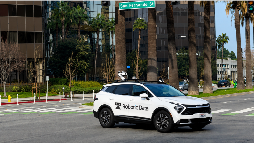
Street-level capture
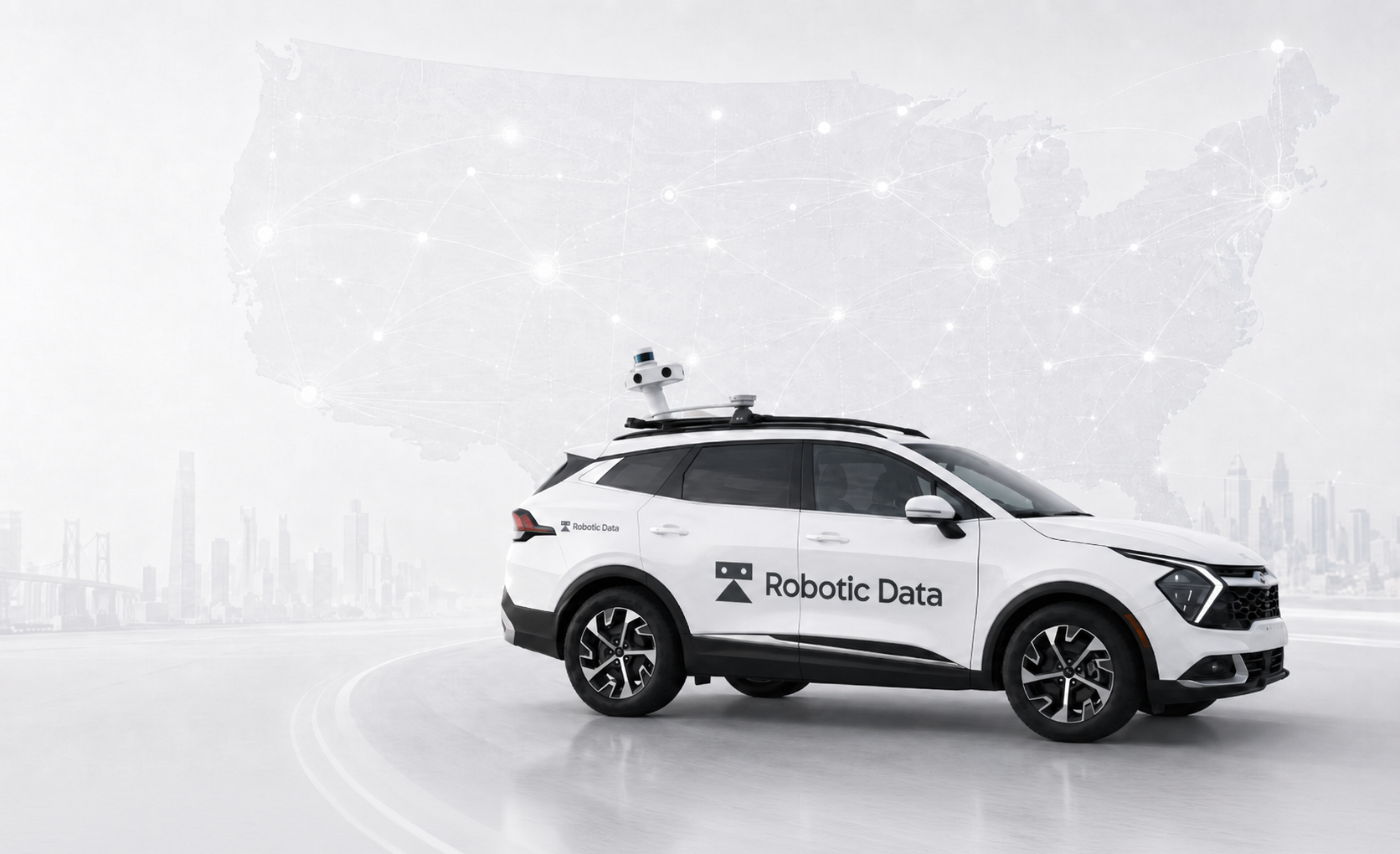
SYMBO vehicles collect calibrated LiDAR and imagery along the routes autonomy actually runs.
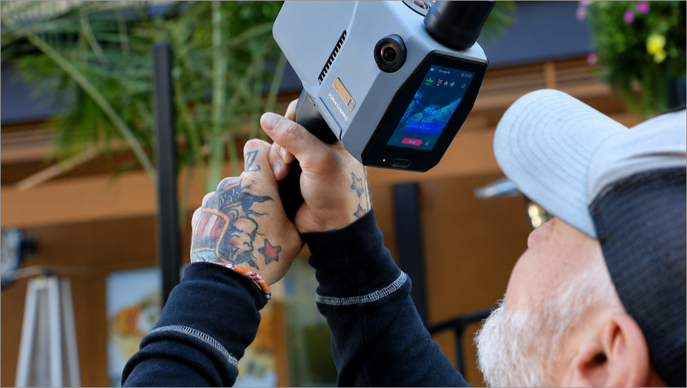
Handheld & pedestrian
Backpack and handheld scanning reaches the curbside, crossings and interiors a vehicle cannot.
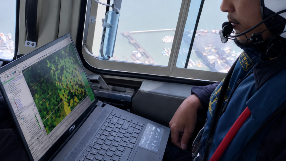
Aerial & corridor
Airborne missions add the wide-area context that stitches individual drives into one physical index.
Capture once.Serve every entrant.
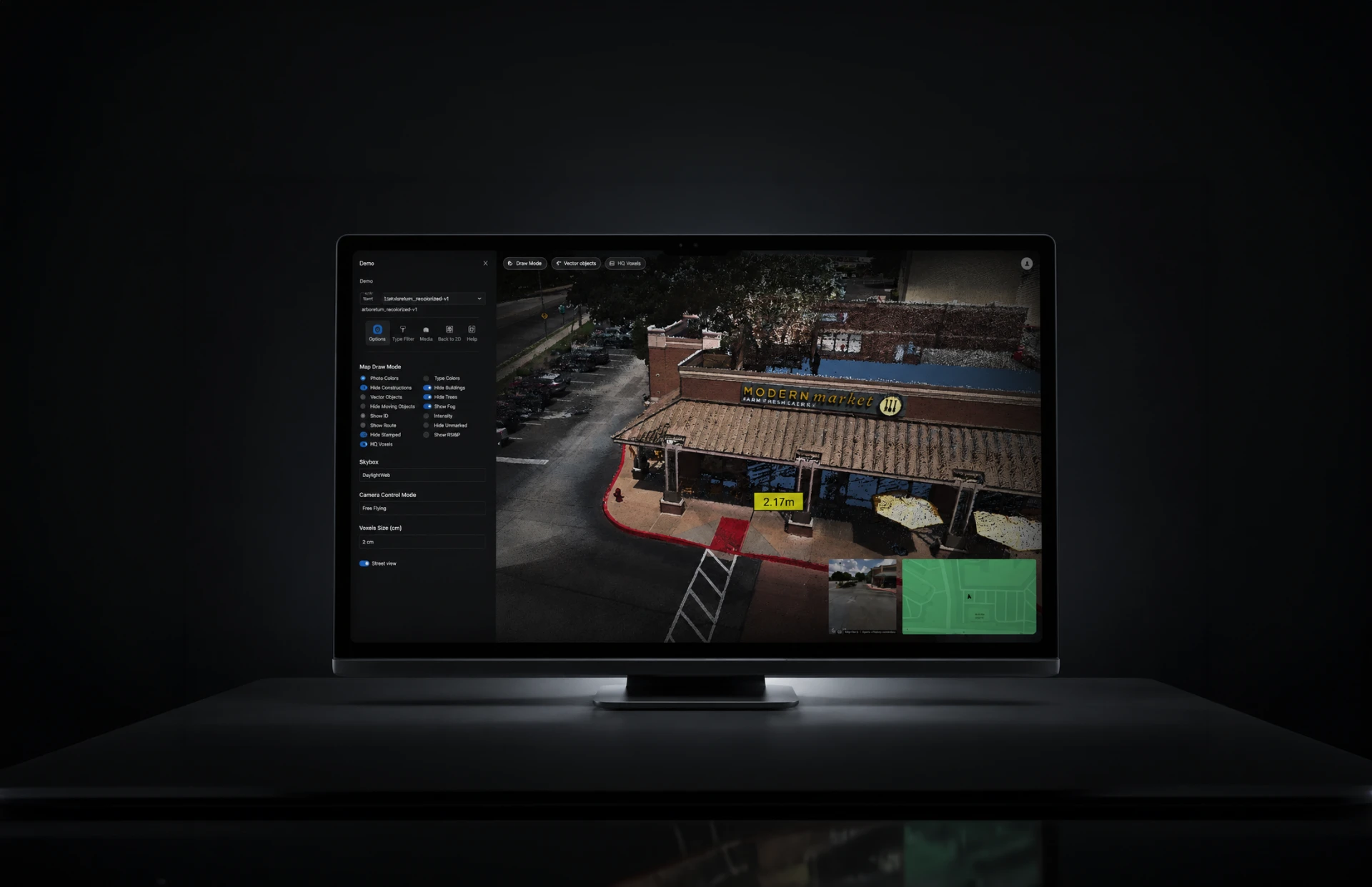
Voxelmaps turns each drive into structured, queryable 3D geometry. Robotic Data operates the capture network that keeps it current. Together they form the physical index autonomy programs test, validate and localise against.
- Coverage
- Cities and corridors captured on demand, not opportunistically.
- Refresh
- The physical world changes. A one-time scan decays; a network does not.
- Ground truth
- Survey-grade geometry to validate perception, not just train it.
- Neutrality
- We supply every entrant on the grid instead of betting on one.